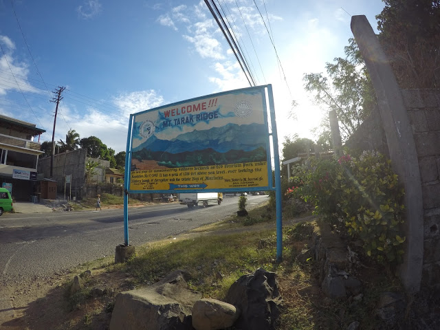
When looking for a mountain to explore, the Philippines has many options! Each mountain has different landscape and has it’s own character and that is what I came to see when one of my friends invited me to check on Tarak Ridge in Mount Mariveles in Bataan. With an elevation of 1130+ MASL, it is considered a notable hiking destination in Bataan and one of the most visited mountains in the Philippines.
The trip would take around 4 hours from Manila to Mariveles, Bataan. Buses are also available to Mariveles which makes it very accessible to all wanting to explore this mountain.
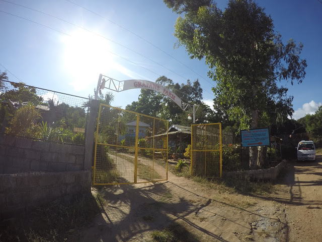
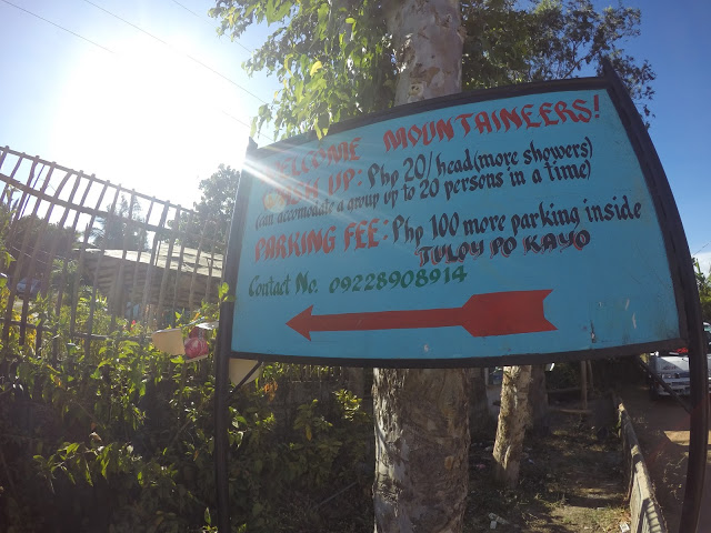
Since we brought a vehicle, this was the place where we parked the car for Php 100.00 . They also have toilets and bathrooms available if you wish to freshen up after the long hike.
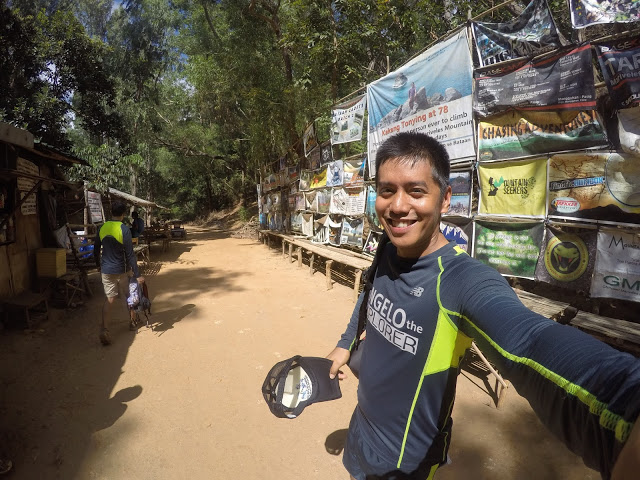
It is also optional to avail a tourist guide because the trail is just straightforward. You will have to pay a small amount as a registration fee before starting your journey. It is also advisable to bring pegs for your tents. The nights in the Tarak Ridge are also very windy so you need to secure extra clothing.
For the information of everyone, Tarak Ridge belongs to the many peaks of Mount Mariveles. The trail difficulty is actually moderate to hard, so expect a challenging path all the way to its peak.
Since the trail goes from moderate to hard, it is expected that only the first part is easy to handle. It is also divided by two types of trails before you can actually step foot on the Tarak Ridge.
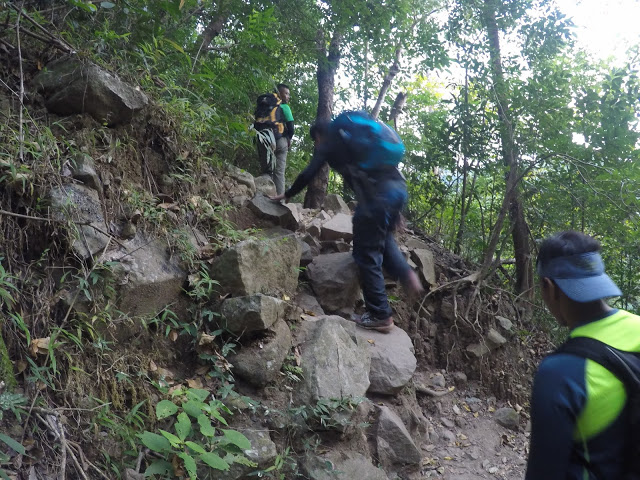
As you go on with your journey, you will encounter a steep ascent along the way. The first part of your journey usually takes three hours until you reach the Papaya River. For the next part, you will have to cross the woodlands and steep trails and after 90 minutes, you will be situated on the famous Tarak Ridge.
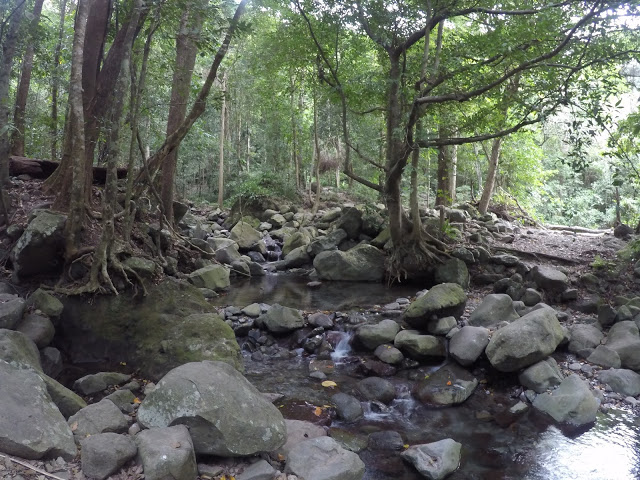
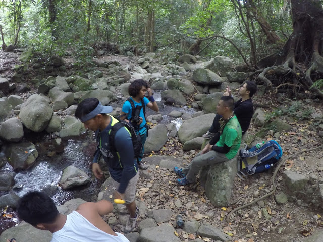
One of the famous stop-overs is the Papaya River. Hikers can breathe in the fresh air before going back to Tarak Ridge. This is also the best place to fill up your water bottles as the water you get here is drinkable.
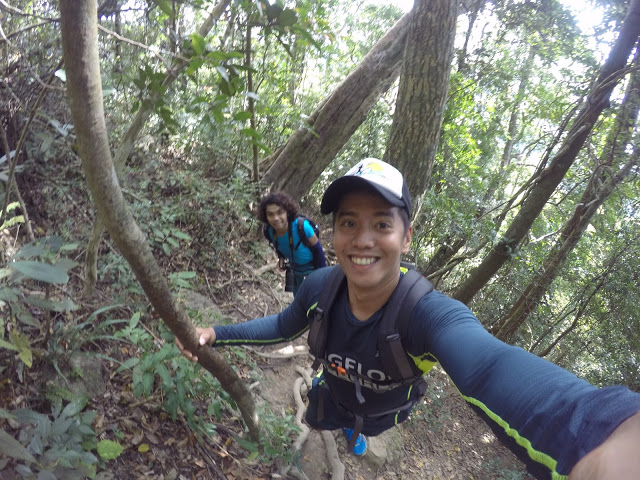
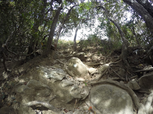
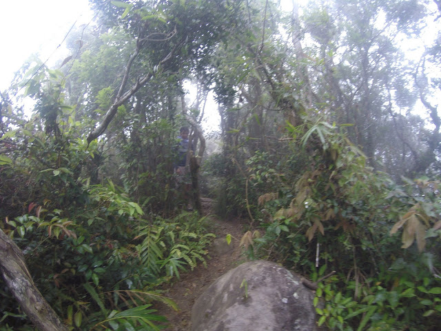
Anyway, it will only take approximately 2-3 hours to reach the summit of Tarak Ridge from the Papaya River. What I like was the trail was covered with huge trees and this created nice shade during our ascend. But as mentioned, the trail going up was so challenging since it was so steep that I really ended up holding on to the roots or branches just to keep my balance. I am not a very experienced climber but I was really having fun!
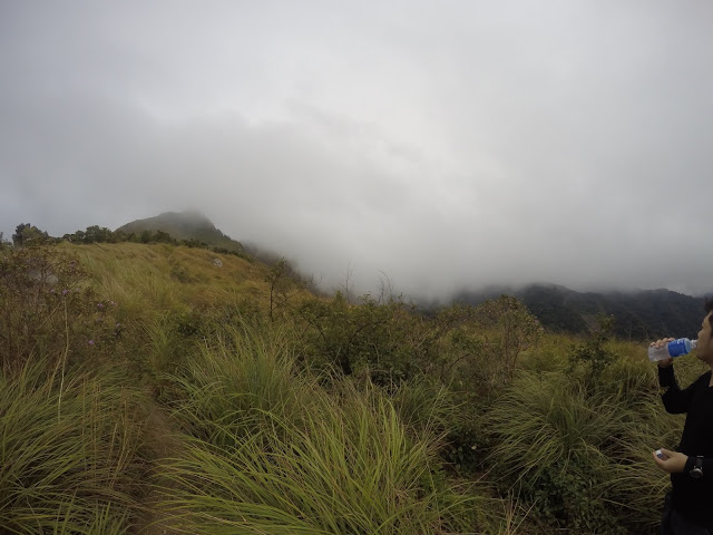
We were all expecting a good weather but to our surprise, the weather suddenly changed and became overcast. It even rained at some point. With it’s elevation, expect strong winds along the ridge.
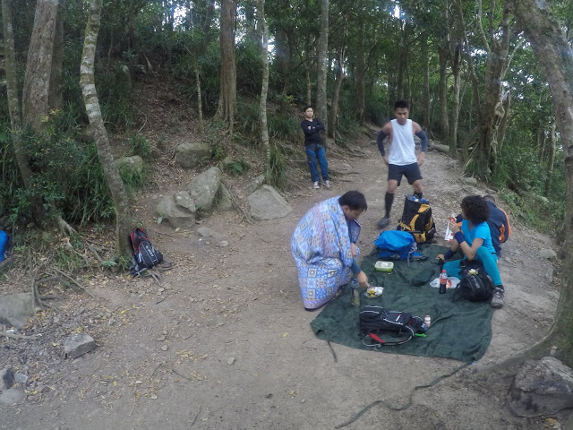
While waiting for the weather to improved we found this camping area where where we had our lunch.
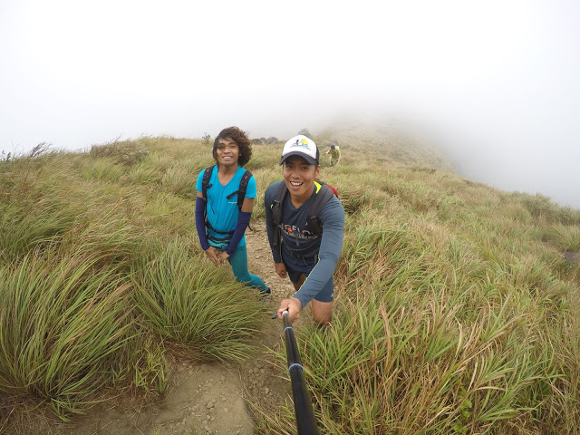
After a few minutes, we finally decided to go for the summit. I was scared again knowing that I am not used to heights. But I was with experienced mountaineers like my friend who is also a travel blogger, Ysa (www.DiwataNgBicolandia).
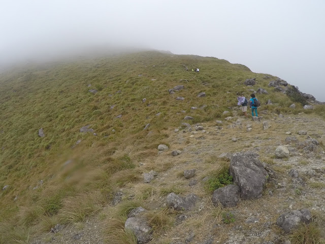
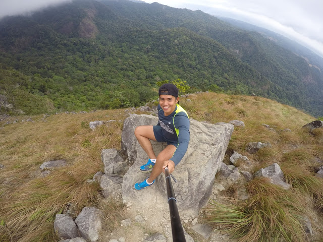
On our way up, the landscape was so different and yet so beautiful.
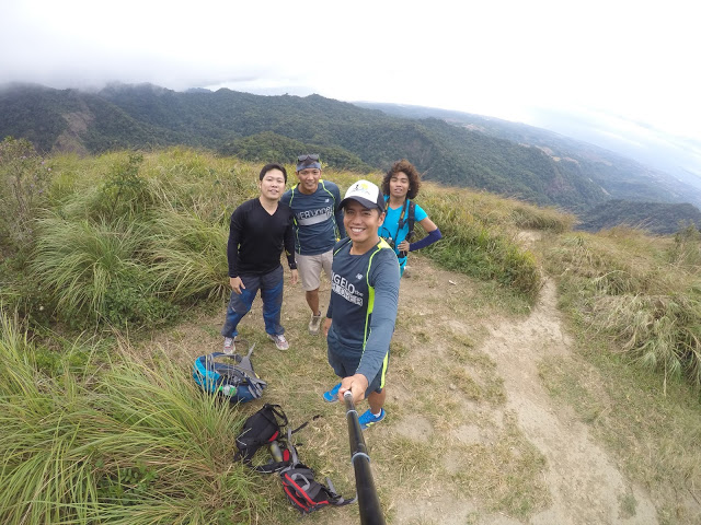
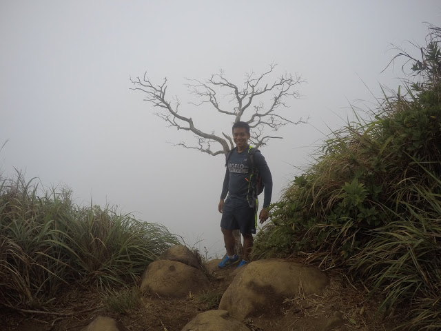
You will know that you are at the summit once you reached that dead tree behind me. Some people like to climb up there, but I wouldn’t advise anyone to do it. Let us just appreciate everything around the mountain without hurting it.
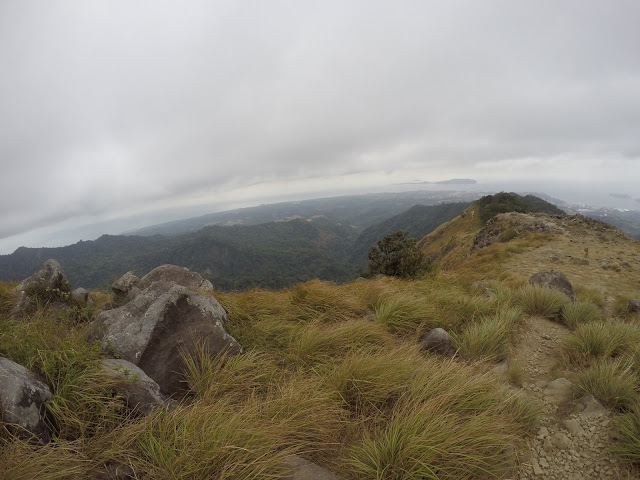
I wish I could see it on a clear day as the view from here is believed to be spectacular. But, as General Mac Arthur once said, I SHALL RETURN!
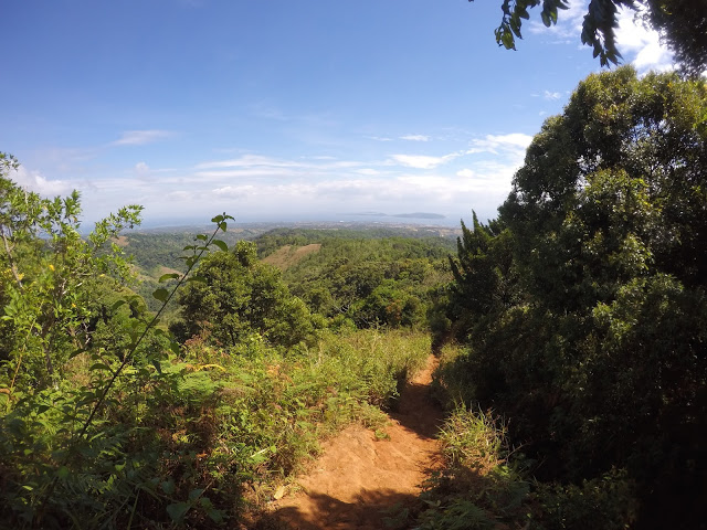
Tarak Ridge continues to capture the hearts of every mountaineer mainly because of its dramatic landscape where one can see the islands of Corregidor, Bataan, Cavite and Manila Bay. If you are looking for some fun and adventure, Tarak Ridge is definitely one of the best treks to conquer.
Now, pack your hiking gear and enjoy the breathtaking view of Tarak Ridge!
Please follow and like us:
